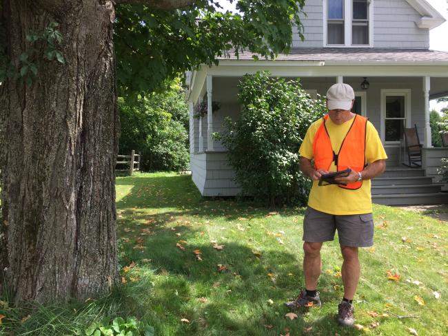
So you’ve walked the streets and parks in your municipality using ArcGIS Field Maps and Survey 123 to record information about trees in public rights-of-way and public places. Maybe you’ve even looked at your data on the Municipal Tree Inventory Viewer. But now what? Learn how to leverage all the tools on the Municipal Web Viewer, how to read your inputs, and when to ask for help from our program, your Regional Planning Commission, or other planning or tree care professionals. This webinar will be lead by Joanne Garton, VT UCF's Technical Assistance Coordinator.
All webinars will be hosted on Teams and recorded. All registrants will be emailed a link to attend and sent the recording.
Meeting link is also included below.
Microsoft Teams Meeting
Join on your computer, mobile app or room device
Click here to join the meeting
Meeting ID: 293 027 023 398
Passcode: hnJYFF
Download Teams | Join on the web
Or call in (audio only)
+1 802-828-7667,,136620738# United States, Montpelier
Phone Conference ID: 136 620 738#
Find a local number | Reset PIN